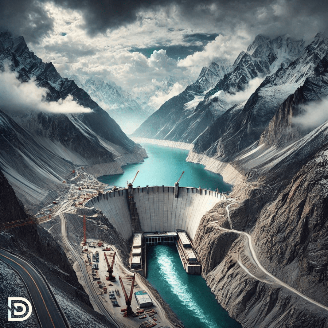
Overview of the Yarlung Tsangpo Project
On December 25, China approved the construction of the world’s largest hydropower project on the Yarlung Tsangpo River in Tibet. The proposed dam will have a massive capacity of 60,000 MW, generating three times the electricity produced by the world’s current largest hydroelectric project, the Three Gorges Dam on the Yangtze River in central China.
The Yarlung Tsangpo originates in Tibet and flows into India, where it is called the Siang in Arunachal Pradesh. As it moves further, tributaries like the Dibang and Lohit join it, forming the Brahmaputra River in Assam. From there, it flows into Bangladesh and eventually empties into the Bay of Bengal. A project of this scale could have widespread implications for millions of people dependent on the river in these regions, affecting livelihoods, agriculture, and ecosystems.
The location of the dam is in Medog County, near the “Great Bend” of the Yarlung Tsangpo, where the river takes a dramatic U-turn before entering Arunachal Pradesh. According to reports, the project is already in advanced planning stages, with infrastructure development and land-use changes underway in the upstream areas.
Reasons Behind China’s Mega Yarlung Tsangpo Project
China has justified the project as part of its efforts to move toward cleaner energy sources and achieve net carbon neutrality by 2060. The Yarlung Tsangpo, with its steep descent from the Tibetan plateau, is ideal for hydropower generation due to its high flow rate.
China already operates tens of thousands of dams, many of which are colossal. For example, the Three Gorges Dam created massive environmental and geological challenges, including disruptions to gravity anomaly maps, potential earthquake risks, and significant changes to river morphology. Additionally, over a million people were displaced due to the reservoir’s formation. Experts have voiced similar concerns about the Yarlung Tsangpo project, particularly given the region’s seismic activity and fragile ecosystem.
Concerns for India and Downstream Nations
The construction of a large-scale dam on the Yarlung Tsangpo raises several concerns for India, a lower riparian state, as well as for other downstream regions like Bangladesh. A significant portion of the Brahmaputra’s water originates from Tibet, and any alteration to its flow could have far-reaching consequences for agriculture, biodiversity, and water availability.
Large dams often disrupt the natural flow of silt, which is vital for maintaining soil fertility. Changes in water flow can also threaten aquatic ecosystems and the livelihoods of communities relying on fishing and farming. Additionally, the region is highly earthquake-prone, increasing the risks of potential disasters associated with dam construction.
Historically, there have been instances where natural occurrences in upstream areas have created challenges downstream. For example, in 2004, a landslide in the Tibetan Himalayas led to the formation of a glacial lake near Himachal Pradesh. When the lake burst the following year, it caused significant flooding along the Sutlej River in India. While damage was mitigated through timely coordination, similar incidents could be far more devastating if they involve large infrastructure projects like the proposed Yarlung Tsangpo dam.
India has expressed concerns about the potential impact of such projects on the Brahmaputra’s flow. It has consistently emphasized the need for transparency and consultation with downstream countries. However, China often states that its hydropower projects primarily “run along the river” and do not involve major water impoundment, a claim that experts challenge.
Limited Cooperation on Transboundary Rivers
India and China established mechanisms for cooperation on transboundary rivers, but these mechanisms remain limited in scope and effectiveness. They signed an umbrella Memorandum of Understanding (MoU) in 2013, but they are not currently taking any active measures under it. Separate MoUs on the Brahmaputra and Sutlej rivers have also lapsed, and their renewal processes are ongoing.
While these agreements facilitate data-sharing during specific times of the year, they do not provide for year-round monitoring. For instance, during the 2017 Doklam standoff and the 2020 Ladakh crisis, data-sharing agreements between the two countries were temporarily disrupted. Such interruptions highlight the fragility of the existing cooperation mechanisms.
Global frameworks like the 1997 United Nations Convention on the Law of the Non-Navigational Uses of International Watercourses offer principles for equitable water sharing and minimization of harm to downstream nations. However, neither India nor China is a signatory to this convention. Despite this, both nations generally adhere to its key features, such as the equitable utilization of shared water resources.
The lack of robust, binding agreements complicates India’s ability to address concerns over large-scale projects like the Yarlung Tsangpo dam. Any unilateral action by China on transboundary rivers could significantly impact the water security and ecological stability of downstream regions.

